
Location
The Amuri Basin is a large inland comparatively flat basin formed by the outwash gravels of the Waiau and Hurunui Rivers between the Southern Alps and the Lowry Range in North Canterbury, New Zealand. The Amuri Basin is home to approximately 1650 people who live in and around the small towns of Culverden, Rotherham and Waiau.
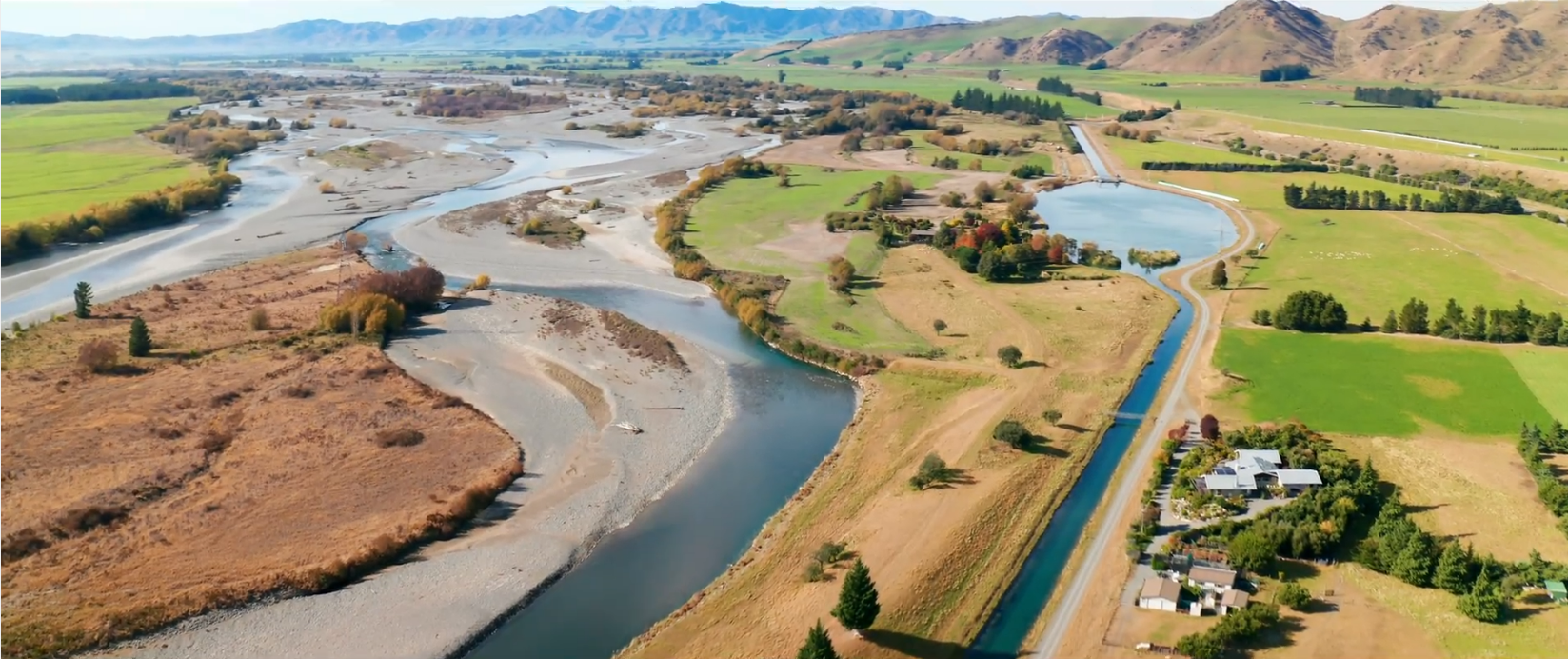
WAIAU INTAKE FROM LESLIE HILLS ROAD
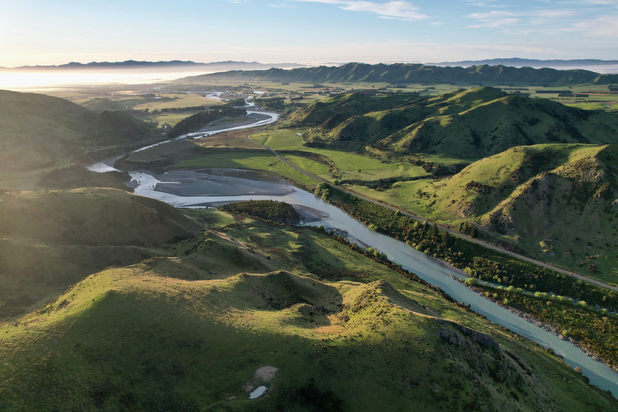
WAIAU INTAKE FROM MORNA DOWNS

WAIAU RIVER FROM MARBLE POINT

HURUNUI RIVER ALONG BALMORAL RACE
AIC takes water from the Waiau Uwha River and the Hurunui River, the largest rivers in the Hurunui District. The Waiau River feeds the Waiau and Waiareka schemes via two intakes and the Hurunui River feeds the Balmoral scheme. The Waiau River has a total catchment of 3,310km² and is the second largest in North Canterbury (1,980km² of that catchment is above the AIC Waiau scheme intake). The river rises in the Spenser Mountains and flows eastward to the Pacific Ocean. The upper reaches of the catchment is dominated by native vegetation, and the middle and lower reaches (particularly in the Amuri Basin) is dominated by beef and sheep finishing, cropping and dairy farming.
The Hurunui River is one of high ecological and environmental significance and is prized by fishermen and nature lovers alike. It is probably the most diverse of Canterbury’s large rivers with both snow and lake sources of flow. There are two main branches; the north branch which is sourced predominantly from Lake Sumner and the south branch which flows from the Southern Alps at Harpers Pass. It is 150km long and has a total catchment of 2,671km², with 1,070km² of that catchment area of above the AIC irrigation intake.
